Hurricane Erick has strengthened into an “extremely dangerous” Category 4 storm, as it heads towards Mexico’s Pacific coast, the US National Hurricane Center (NHC) says.
Maximum sustained winds in the storm were near 220km/h (140mph) early on Thursday local time.
Forecasters expect it to make landfall in the coming hours with the states of Oaxaca and Guerrero state most likely to be impacted by what the NHC says could be “devastating wind damage”.
Mexican President Claudia Sheinbaum told people in the storm’s path to “stay tuned to official communications, to stay indoors, and not go out”.
A hurricane warning is in effect for a 500km-stretch (300 miles) of Pacific coast, from the resort town of Acapulco to Puerto Ángel.
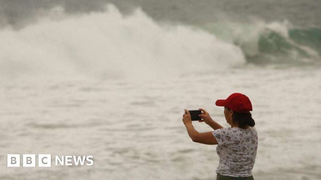
Residents in Guerrero and Oaxaca have been warned of life-threatening floods and swells.
“If you are in low-lying areas, near rivers, near waterways, it is best for you to go to shelters, to the shelters that have already been set up for this situation,” Mexican President Claudia Sheinbaum said.
People living in mountainous areas have been told to beware of possible mudslides.
Around 2,000 shelters have been set up across the states of Chiapas, Guerrero, and Oaxaca and more than 18,000 first responders have been mobilised to prepare for the hurricane.
It is expected to be the first to make landfall in Mexico this season, which runs from the start of June to the end of November.
In October 2023, at least 50 people were killed during Hurricane Otis, a category 5 hurricane that battered Acapulco.
Otis intensified rapidly, meaning many people were unprepared when the hurricane made landfall.
Are you in an area affected by Hurricane Erick?
If it is safe to do so, get in touch here.
Please include a contact number if you are willing to speak to a BBC journalist.
You can also get in touch in the following ways:
Email: [email protected]
WhatsApp: +44 7756 165803
Source link

